
Super El Niño: What It Could Mean for Valley Ranch This Winter
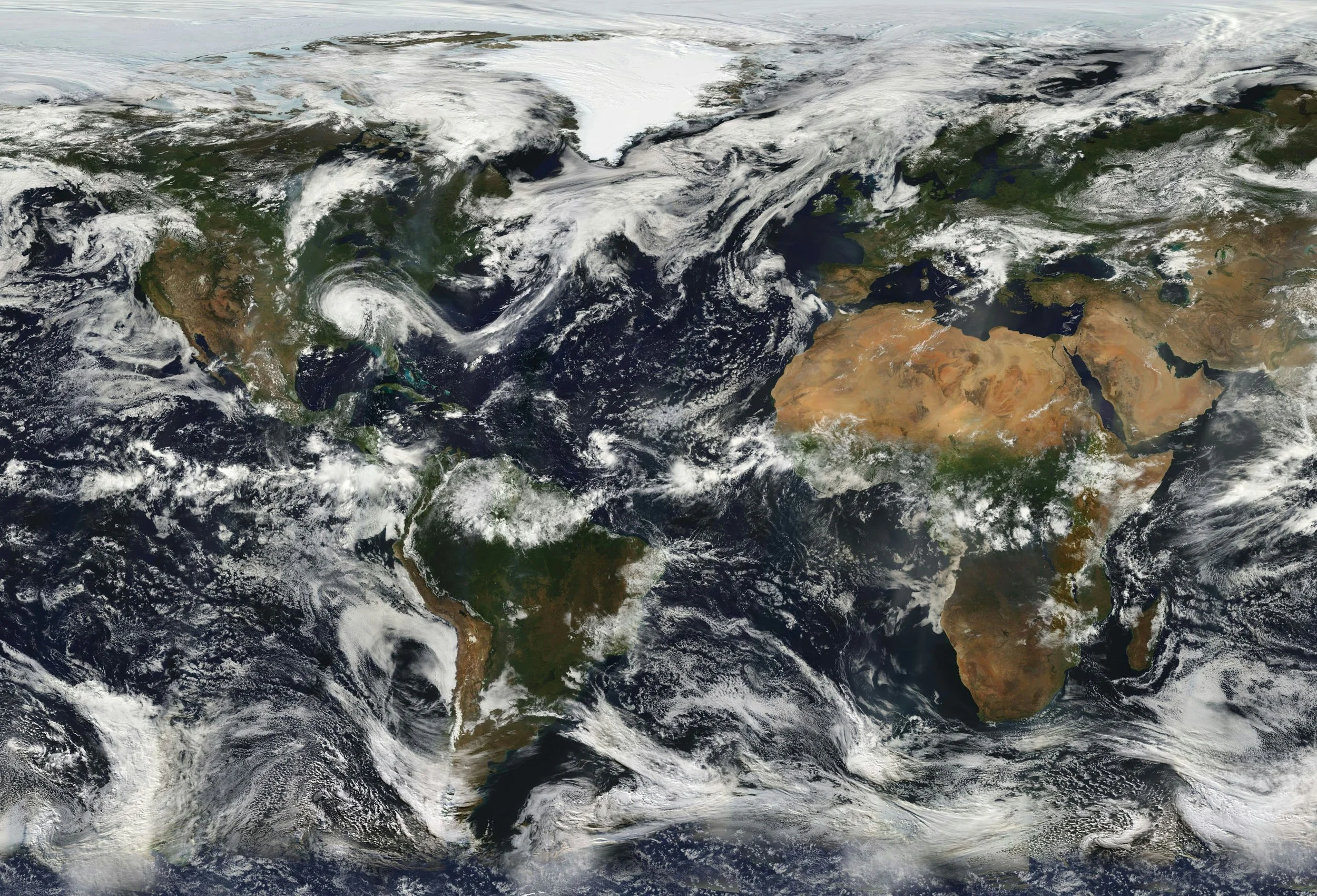
A satellite view of the continents and oceans with clouds.
After an exceptionally dry summer across North Texas, the conversation has shifted to what could be a much wetter winter as a strong El Niño develops. "Super El Niño" has been making headlines in recent weeks. The name sounds dramatic, but the idea is simple: The Pacific Ocean is warmer than average, and that can affect Valley Ranch weather in the coming months.
What is El Niño?
El Niño is a climate pattern that happens every two to seven years and is characterized by warm sea temperatures in the Pacific Ocean (source: National Oceanic and Atmospheric Administration, NOAA). Warm sea temperatures affect wind patterns and jet streams, which in turn influence weather globally.
Why is this El Niño considered “super”?
NOAA forecasters have categorized this year's El Niño as "very strong" because sea temperatures are much warmer than average. While "Super El Niño" is not an official scientific term, people have started using it to describe strong El Niño events.
What does this mean for Valley Ranch?
A stronger El Niño can make its typical weather impacts more noticeable. For Valley Ranch, that means a greater chance for a wetter and cooler winter. Snow and ice aren’t guaranteed, but it does increase the likelihood of rain and stormy weather.
The last El Niño of this category was in the fall of 2015, and it brought above-normal rainfall to North Texas. While every El Niño event is different, forecasters will be watching closely to see whether similar weather patterns develop this winter.
To track precipitation trends in Valley Ranch throughout the year, visit IFCD 3's Precipitation Tracker.
To stay up-to-date on IFCD 3’s latest activities and learn more about our projects, follow us on Facebook.