
A Steady 418 Feet: Valley Ranch Canal Levels
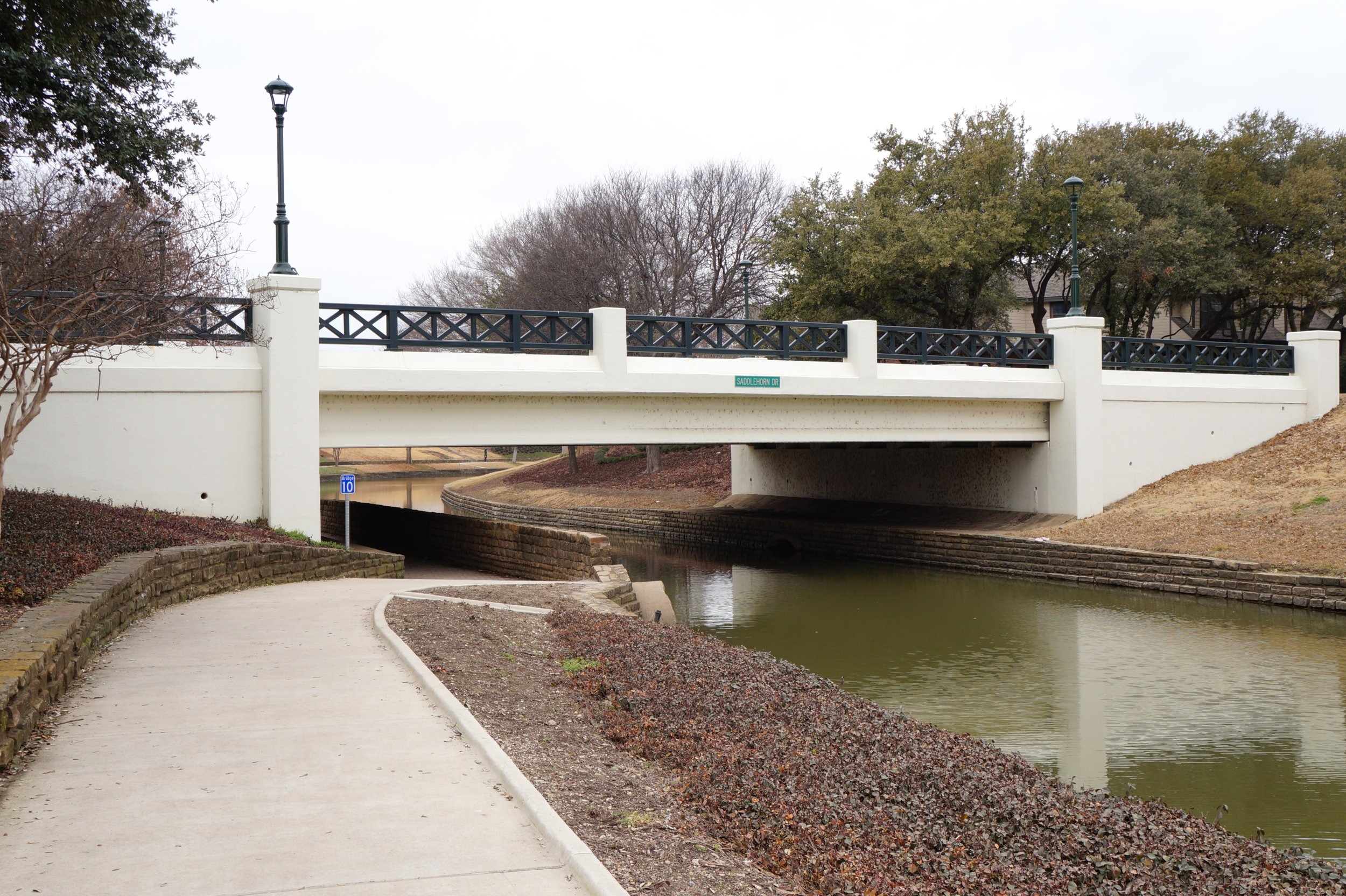
The Saddlehorn Drive bridge, with white beams and dark green railings, spans a Valley Ranch canal, framed by a concrete path and nearby trees.
If you’ve spent time walking along the canals in Valley Ranch, you’ve probably noticed how steady the water levels look from one day to the next. That consistency is a result of a carefully managed system built around one key benchmark: 418 feet.
At a water level of 418 feet:
Water moves through the system efficiently and out toward the Elm Fork of the Trinity River,
Canal levels maintain the capacity to absorb stormwater runoff, and
The flood control system remains equipped to protect the community from varied weather conditions.
Occasionally, rapid and heavy rainfall from a severe storm event can push levels above that benchmark. Before water levels approach that point, the system shifts into proactive response. The 418- to 419-foot range acts as a buffer zone and signals for our team to stay alert and ready. Our flood control experts are closely monitoring water levels and weather conditions, preparing infrastructure to respond if conditions escalate.
Most days, the 418-foot line does exactly what it’s designed to do: quietly keep Valley Ranch waterways steady and ready for whatever comes next. Next time you pass by the canals, remember that consistency is by design.
To stay up-to-date on IFCD 3’s latest activities and learn more about our projects, follow us on Facebook.